
1. Project Background
European countries, particularly in Central and Western regions, face significant flood risks due to complex terrain and Atlantic-influenced climate patterns. To enable precise water resource management and effective disaster warning, European nations have established one of the world’s most dense and standardized precipitation monitoring networks. Rain gauge sensors serve as the fundamental component of this infrastructure.
2. System Architecture and Deployment
- Network Density: Countries have established hydrometeorological monitoring networks with high distribution density, typically covering key areas at approximately 100-200 km² per station.
- Sensor Types: Networks primarily utilize tipping-bucket rain gauges complemented by weighing precipitation gauges for all-weather measurement capability.
- Data Transmission: Real-time data transmission through multiple communication channels at 1-15 minute intervals.
3. Implementation Examples
3.1 Transnational River Basin Management
In major international river basins, rain gauge networks form the foundation of flood forecasting systems. Implementation characteristics include:
- Strategic placement throughout upstream catchment areas
- Integration with hydrological models for flood peak prediction
- Standardized data protocols enabling cross-border information sharing
- Support for dam operation decisions and early warning issuance
3.2 Alpine Region Early Warning Systems
Mountainous regions employ specialized monitoring strategies:
- Installation in high-altitude valleys and landslide-prone areas
- Definition of critical rainfall thresholds for flash flood warnings
- Combination with snow depth monitoring for comprehensive flood assessment
- Robust sensor designs for extreme weather conditions
4. Technical Integration
- Multi-sensor Integration: Rain gauges function within comprehensive monitoring stations incorporating water level, flow rate, and meteorological sensors
- Data Validation: Point measurements validate and calibrate regional weather radar estimates
- Automated Alerting: Real-time data triggers automated warning messages when predefined thresholds are exceeded
5. Implementation Outcomes
- Early warning lead times extended to 2-6 hours for medium-sized rivers
- Significant reduction in flood-related economic losses
- Improved accuracy in hydrological forecasting models
- Enhanced public safety through reliable warning systems
6. Challenges and Development
- Maintenance requirements for extensive sensor networks
- Measurement limitations during extreme precipitation events
- Integration of point measurements with spatial monitoring technologies
- Continuous need for network modernization and calibration
Conclusion
Rain gauge sensors constitute the essential foundation of Europe’s flood monitoring infrastructure. Through high-density deployment, standardized operation, and sophisticated data integration, these monitoring networks provide crucial support for European flood risk management, demonstrating the vital importance of systematic infrastructure development for climate adaptation and disaster prevention.
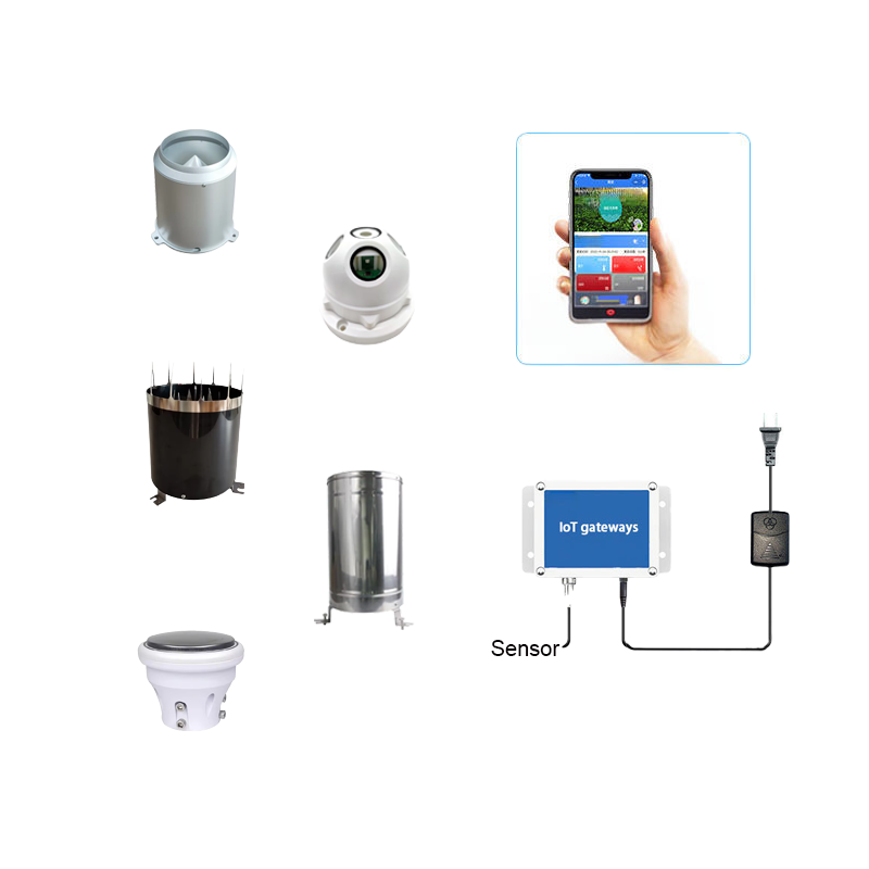
Complete set of servers and software wireless module, supports RS485 GPRS /4g/WIFI/LORA/LORAWAN
please contact Honde Technology Co., LTD.
Email: info@hondetech.com
Company website: www.hondetechco.com
Tel: +86-15210548582
Post time: Sep-29-2025