
A hydrographic radar level gauge, also known as a non-contact radar water level meter, is an advanced instrument that uses high-frequency electromagnetic waves (microwaves) to measure the distance to a water surface. It transmits a radar wave via an antenna and receives the echo reflected from the water surface. The water level is calculated based on the time it takes for the wave to travel this distance.
Its core characteristics are as follows:
1. Non-Contact Measurement
- Advantage: The sensor does not contact the measured water body, fundamentally avoiding issues inherent to contact methods—such as silt sedimentation, weed entanglement, corrosion, and icing—that plague traditional gauges (e.g., float-type, pressure-based).
- Result: Extremely low maintenance and long service life, making it particularly suitable for harsh hydrological environments.
2. High Measurement Accuracy, Unaffected by Environmental Conditions
- Advantage: The propagation of radar waves is virtually unaffected by temperature, humidity, atmospheric pressure, wind, rain, or dust.
- Comparison with Ultrasonic Gauges: Ultrasonic level gauge accuracy is affected by ambient temperature changes (requiring compensation) and strong wind, whereas radar waves perform excellently in these conditions, offering superior stability.
3. Strong Anti-Interference Ability
- Advantage: Radar level gauges typically operate in the K-band or higher frequencies, featuring a small beam angle and concentrated energy. This allows them to effectively penetrate foam, vapor, and a small amount of floating debris, and they are unaffected by changes in water color or density.
- Result: Stable and reliable measurements can be obtained even on water surfaces with slight waves, foam, or steam.
4. Easy Installation, No Need for Structural Modifications
- Advantage: It only requires a suitable mounting position above the measurement point (e.g., on a bridge, a crossbeam in a stilling well, or a pole). There is no need to build a stilling well or undertake major modifications to existing structures.
- Result: Significantly reduces civil engineering costs and installation complexity, especially beneficial for upgrading existing stations.
5. Wide Range of Applications
- Advantage: Can be used on almost all types of water bodies, including rivers, canals, reservoirs, lakes, groundwater wells, and various tanks in wastewater treatment plants (inlet wells, aeration tanks, etc.).
Disadvantages and Considerations:
- Higher Initial Cost: The procurement cost is typically higher compared to traditional submerged pressure transducers or float-type water level gauges.
- False Echo Interference: In narrow stilling wells or complex environments with numerous pipes or brackets, radar waves may reflect off the inner walls or other obstacles, creating false echoes that require software filtering. Modern radar level gauges usually feature advanced echo processing algorithms to handle this.
- Extreme Wave Impact: In open waters with very large waves (e.g., coasts, large reservoirs), severe surface fluctuations can challenge measurement stability, necessitating the selection of a more suitable model and optimized installation location.
2. Application Cases
Due to their non-contact nature and high reliability, radar level gauges are widely used in hydrometric monitoring, water conservancy projects, and urban water management.
Case 1: Hydrological Monitoring Stations in Mountainous Rivers
- Challenge: Water levels in mountainous rivers rise and fall rapidly, with swift currents carrying large amounts of sediment and floating debris (branches, weeds). Traditional contact sensors are easily destroyed, clogged, or entangled, leading to data loss.
- Solution: Install a radar level gauge on a bridge, with the probe directed vertically towards the river surface.
- Outcome:
- Maintenance-Free: Completely avoids the effects of sediment and debris, reliably capturing the complete hydrograph during flood seasons.
- Safety: Installation and maintenance personnel do not need to operate at the dangerous water’s edge or during floods, ensuring safety.
- Data Integrity: Provides continuous, accurate critical data for flood warning and water resource regulation.
Case 2: Urban Drainage Network and Waterlogging Monitoring
- Challenge: The internal environment of urban sewers and box culverts is harsh, with issues like corrosive biogas, silt sedimentation, and pest damage. Contact sensors are easily damaged and difficult to maintain.
- Solution: Install radar level gauges with high protection ratings (potentially explosion-proof) on the inside of manhole covers or crossbeams to measure the water level inside the well.
- Outcome:
- Corrosion-Resistant: Non-contact measurement is unaffected by corrosive gases inside the well.
- Anti-Siltation: Prevents sensor failure due to being buried in silt.
- Real-Time Monitoring: Monitors pipe fill levels in real time, providing data support for urban drainage dispatch and waterlogging warning, contributing to “Smart Water” and “Sponge City” initiatives.
Case 3: Reservoir and Dam Safety Monitoring
- Challenge: Reservoir water level is a core operational parameter, requiring absolutely reliable and precise measurement. Traditional methods might be affected by vegetation growth on the dam slope within the fluctuation zone.
- Solution: Install high-precision radar level gauges on both sides of the dam spillway or on a monitoring tower to monitor the reservoir level in real time.
- Outcome:
- High Reliability: Provides the most critical data basis for reservoir flood control operations and water supply.
- Seamless Integration: Data can be directly integrated into automatic rainfall-runoff reporting systems and dam safety monitoring systems, enabling automated management.
- Long-Term Stability: Almost no wear and tear, providing consistent data over the long term, ideal for safety monitoring.
Case 4: Automated Water Measurement in Irrigation Canals
- Challenge: Agricultural irrigation canals have relatively gentle flow but may contain weeds. A low-maintenance measurement method is needed for efficient water resource management and billing.
- Solution: Install radar level gauges at key sections (e.g., gates, flumes). By measuring the water level and combining it with the channel’s cross-section and a hydraulic model, the instantaneous flow rate and cumulative volume are calculated.
- Outcome:
- Simplified Installation: No need to build complex measuring structures in the canal.
- Remote Meter Reading: Combined with telemetry terminals, it enables remote automatic data collection and billing, modernizing irrigation management.
Summary
Hydrographic radar level gauges, with their prominent features of non-contact operation, high accuracy, high reliability, and low maintenance, are becoming one of the preferred technologies in modern hydrometric and water resource monitoring. They effectively address many pain points encountered by traditional water level measurement methods in complex environments, providing strong technical support for flood warning, water resource management, urban waterlogging prevention, and the safe operation of hydraulic engineering projects.
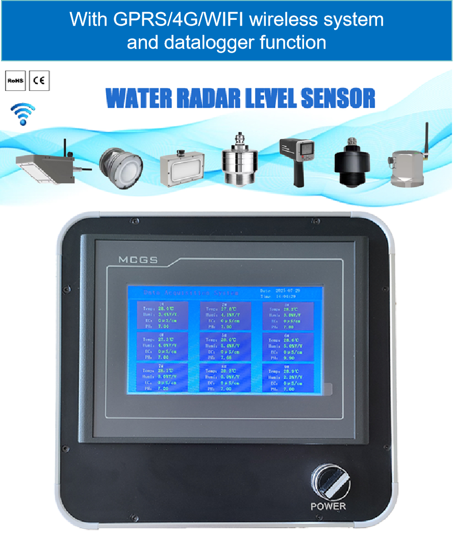
Complete set of servers and software wireless module, supports RS485 GPRS /4g/WIFI/LORA/LORAWAN
For more radar sensor information,
please contact Honde Technology Co., LTD.
Email: info@hondetech.com
Company website: www.hondetechco.com
Tel: +86-15210548582
Post time: Oct-30-2025