
Project Background
As the world’s largest archipelagic nation, Indonesia possesses complex water networks and frequent rainfall, making hydrological monitoring critical for flood warning, water resource management, and infrastructure development. Traditional hydrological monitoring methods face numerous challenges in Indonesia’s vast and geographically dispersed environment, while the integrated radar technology solution provides an innovative approach.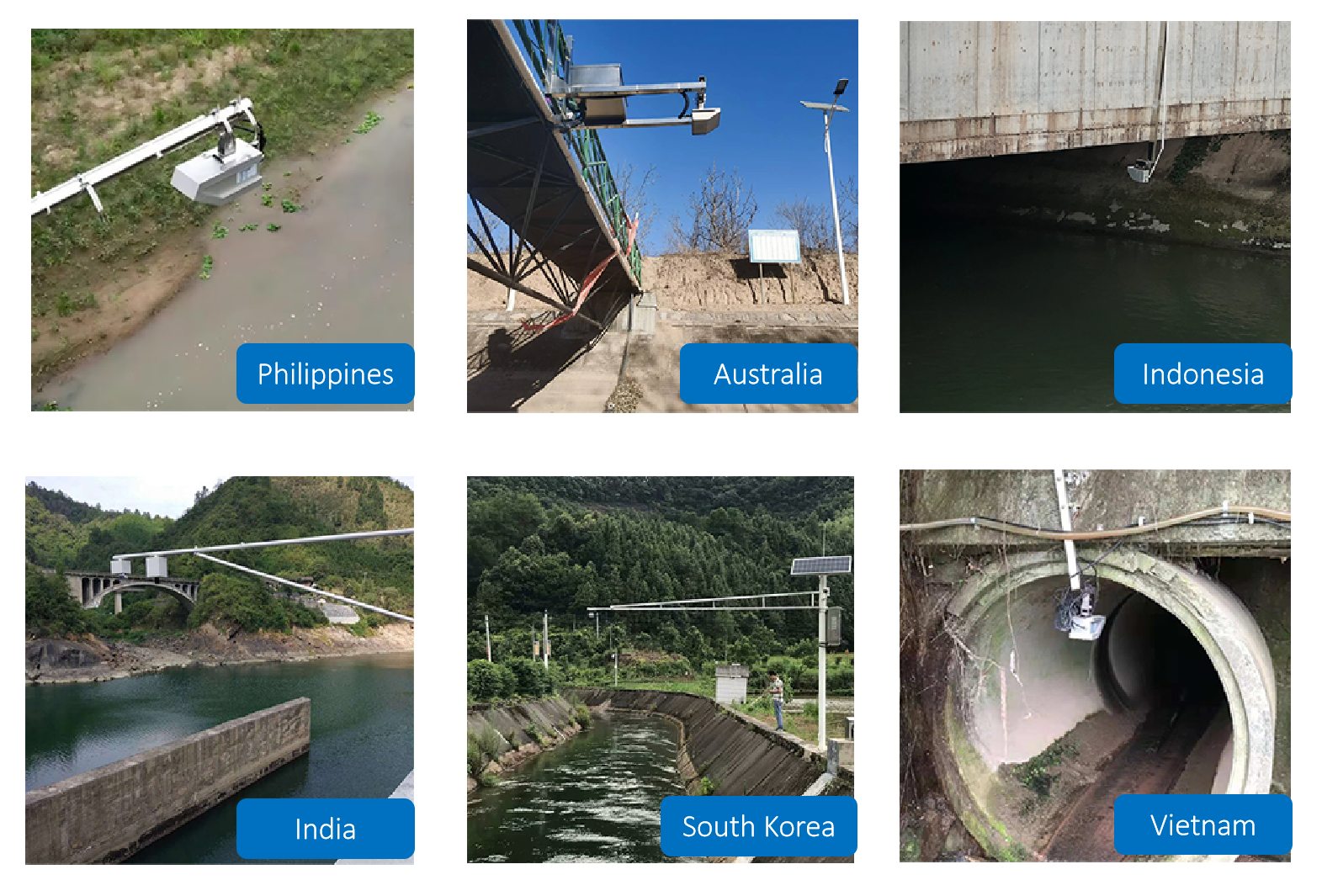
Technical Solution
Equipment Configuration
- Radar Water Level Sensor: 24GHz Frequency-Modulated Continuous Wave (FMCW) radar with 0.3-15m measurement range and ±2mm accuracy
- Radar Flow Velocity Sensor: Non-contact Doppler radar with 0.1-20m/s measurement range and ±0.02m/s accuracy
- Integrated Processing Unit: Real-time flow calculation supporting MODBUS, 4G and multiple communication protocols
- Solar Power System: Adapted for off-grid remote areas
Case Study: Ciliwung River Monitoring System in Jakarta
Project Overview
The Ciliwung River is a major waterway flowing through central Jakarta with a history of severe flooding. The municipal government deployed the integrated radar monitoring system at 12 critical points.
Implementation Highlights
- Flood Warning:
- Real-time water level monitoring successfully provided 3-hour advance warnings for three major flood events during the 2023 rainy season
- Flow velocity data helped predict flood progression speed, gaining valuable time for evacuation
- Pollution Monitoring:
- Abnormal flow variations helped identify 8 illegal drainage outlets
- Flow data provided crucial input parameters for pollution dispersion modeling
- Urban Drainage Optimization:
- Monitoring data guided adjustments to operation strategies for 5 floodgates
- Reduced waterlogging points by 40% during rainy seasons
Case Study: Musi River Basin Monitoring in Sumatra
Project Feature
- Covers approximately 60,000 km² watershed area
- 25 monitoring stations, mostly located in uninhabited tropical rainforest areas
- Solar-powered with satellite data transmission
Implementation Outcomes
- Data Continuity: Improved data acquisition rate from 65% to 98% compared to traditional methods
- Maintenance Cost: Reduced annual maintenance expenses by 70% (minimizing personnel entry into hazardous areas)
- Ecological Protection: Non-contact measurement avoids disrupting aquatic migration
Technical Advantages
- Adaptability:
- Unaffected by water turbidity or floating debris (addressing key pain points of traditional ultrasonic equipment)
- Maintains stable performance in Indonesia’s high humidity and heavy rainfall environment
- Cost-Effectiveness:
- Single device performs three monitoring functions, saving 30-40% equipment investment
- Reduces civil engineering requirements (no need for weirs or other structures)
- Smart Integration:
- Direct data upload to provincial hydrological data centers
- Integration with meteorological data improves flood prediction accuracy
Challenges and Solutions
- Communication Issues:
- Hybrid LoRaWAN + satellite communication network in remote areas
- Data caching mechanism for network interruptions
- Installation and Calibration:
- Developed specialized mounting brackets adaptable to various bridge structures
- Streamlined on-site calibration process reducing deployment time
- Public Engagement:
- Monitoring data made accessible to communities via mobile APP
- Installed visual warning displays
Future Outlook
Indonesia’s Ministry of Water Resources plans to expand such integrated monitoring stations to 200 key locations along major rivers nationwide within five years. The initiative will explore deeper integration of monitoring data with AI flood prediction models, further enhancing the “Thousand Islands” nation’s capacity to respond to water-related disasters.
This case demonstrates the excellent performance of radar technology in hydrological monitoring under complex environmental conditions, providing a replicable technical solution for water resource management in tropical regions.
Complete set of servers and software wireless module, supports RS485 GPRS /4g/WIFI/LORA/LORAWAN
For more radar sensor information,
please contact Honde Technology Co., LTD.
Email: info@hondetech.com
Company website: www.hondetechco.com
Tel: +86-15210548582
Post time: Aug-11-2025