
As rising seas and chaotic urbanization squeeze this megacity, a network of silent electronic sentinels is learning to predict disaster by listening to the whispers of its choked rivers.
For generations, the rhythm of life in Jakarta has been dictated by water. The monsoon rains come, the thirteen rivers that vein through the metropolis swell, and the city sinks—quite literally—into chaos. The Great Flood of 2020 was a brutal exclamation point on a chronic crisis, paralyzing the capital and inflicting over $1.5 billion in damage. The traditional response—dredging, concrete walls, and emergency pumps—feels increasingly like trying to bail out a boat with a persistent, gaping hole.
But a new, intangible infrastructure is being woven into the city’s fabric. High on the bridges over the Ciliwung and Pesanggrahan rivers, unassuming steel boxes are now a permanent fixture. These are radar flow and level sensors, and they represent a fundamental shift: from reacting to floods to anticipating them. They don’t fight water with concrete; they fight uncertainty with data.
The Physics of Prediction: Why Radar?
In the dynamic, debris-filled rivers of the tropics, traditional monitoring tools fail. Mechanical sensors clog with silt and plastic within weeks. Radar sensors, however, use microwave beams to measure the river’s surface velocity and height from a safe distance, without ever touching the toxic, churning water.
This provides two critical data points traditional gauges miss:
- True Threat Level: Water level alone is deceptive. A backed-up, sluggish river can be high but stable. A fast-moving torrent, even at a lower level, carries devastating kinetic energy. Radar measures both, calculating the real-time volumetric flow—the true measure of a river’s destructive potential.
- The Sediment Story: Jakarta’s floods are compounded by extreme siltation from deforestation upstream. By analyzing how the radar signal scatters, scientists can now estimate sediment concentration, helping predict which areas will be hardest hit by sludge deposition after a flood peak.
The Early Warning Network in Action
This network functions as Jakarta’s hydrological central nervous system.
- In the Bogor Highlands: Sensors placed 50km upstream in the rainforest catchments detect intense rainfall runoff hours before it reaches the city. An AI model, trained on years of radar data, now issues probabilistic flood forecasts for specific city districts.
- At the Sea Gates: Where rivers meet Jakarta Bay, massive tidal gates are designed to prevent seawater ingress. Radar sensors now provide real-time data to automate these gates, dynamically balancing the release of floodwater against incoming tidal surges—a delicate operation previously done on instinct.
- The Community Link: In North Jakarta’s flood-plagued neighborhoods, simple traffic-light-style displays connected to the sensor network provide public, real-time warnings. A shift from green to red triggers community evacuation protocols, turning abstract data into life-saving action.
The Human and Economic Calculus
The cost of a single radar sensor station is dwarfed by the economics of flood damage. A 2023 study by the Institute of Technology Bandung concluded that the sensor network, if fully implemented, could reduce annual flood-related economic losses by an estimated 15-25% for the Greater Jakarta area. For a city losing billions yearly to inundation, this is not just an engineering project; it is critical economic infrastructure.
The Larger Truth: Data vs. Destiny
The radar sensors expose an uncomfortable truth: Jakarta’s floods are not a natural disaster but a man-made crisis of planning, waste management, and land subsidence. The data vividly maps how clogged waterways and paved-over wetlands turn moderate rain into major events. In this sense, the sensors are not just forecasting tools but powerful advocates for systemic change, providing irrefutable evidence for where to restore canals, build retention basins, and overhaul waste systems.
Conclusion: A Forecast for the Future
The goal is not to make Jakarta flood-proof—an impossibility for a city sinking as seas rise. The goal is to make it flood-prepared. The radar sensor network is building a future where floods are predictable, manageable events rather than catastrophic surprises. It is a story of a megacity finally choosing to listen to the very rivers it has spent centuries trying to ignore, using their own language—the language of flow and force—to forge a more resilient coexistence. The battle for Jakarta’s future will be won not only with concrete and pumps but with the relentless, silent gaze of radar and the clarity of the data it provides.
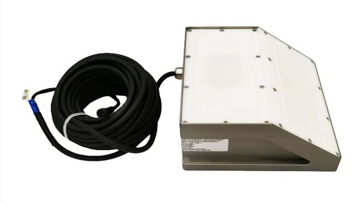
Complete set of servers and software wireless module, supports RS485 GPRS /4g/WIFI/LORA/LORAWAN
For more radar level sensors information,
please contact Honde Technology Co., LTD.
Email: info@hondetech.com
Company website: www.hondetechco.com
Tel: +86-15210548582
Post time: Dec-09-2025