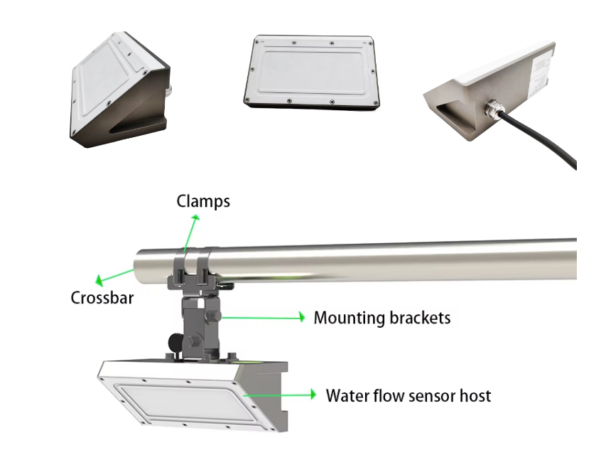
Hydro radar level sensors have played a crucial role in Indonesia’s agriculture and municipal management, particularly in flood control, irrigation optimization, and water resource management. Below are their key impacts and related news:
1. Flood Prevention & Disaster Warning
- Tidal Monitoring & Flood Mitigation: Indonesia’s Geospatial Information Agency uses VEGAPULS C 23 radar level sensors to monitor tidal water levels, with real-time data uploaded to a public tide information platform. This data aids maritime navigation, tidal predictions, and flood prevention.
- Tsunami Early Warning: Water level data is also used to study El Niño and La Niña phenomena, helping predict extreme weather events such as heavy rainfall and tsunamis, enabling proactive disaster response.
2. Agricultural Irrigation Optimization
- Precision Water Level Control: The high accuracy (±1mm) of radar level sensors makes them ideal for irrigation systems, ensuring stable water levels in farmlands and preventing over- or under-irrigation.
- Reduced Water Waste: Real-time monitoring of reservoirs and canals allows farmers to allocate water more efficiently, improving crop yields.
3. Municipal Water Resource Management
- Wastewater Treatment & Monitoring: In municipal applications, radar level sensors monitor sewage and equalization tanks, ensuring proper wastewater treatment and preventing overflow pollution.
- Smart City Integration: Some cities are exploring integrating water level data into smart city systems to optimize drainage and water supply networks.
4. Infrastructure & Emergency Response
- Hydropower Station Monitoring: In Indonesia’s Batang Hydropower Project, radar water level sensors are used in diversion tunnels and powerhouses to ensure flood safety and operational efficiency.
- Emergency Drills: Similar to flood monitoring drills in China (e.g., using drones and radar guns for flow measurement), Indonesia is adopting such technologies to improve flood response capabilities.
5. Long-Term Climate Research
- Sea Level Rise Monitoring: As an archipelago, Indonesia relies on long-term water level data to study global climate change and rising sea levels, providing scientific support for policymaking.
These applications demonstrate that hydro radar level sensors have become a critical technology for sustainable agriculture and disaster management in Indonesia. Future advancements may include digital twin and IoT integration to further enhance smart monitoring capabilities.
Complete set of servers and software wireless module, supports RS485 GPRS /4g/WIFI/LORA/LORAWAN
please contact Honde Technology Co., LTD.
Email: info@hondetech.com
Company website: www.hondetechco.com
Tel: +86-15210548582
Post time: Jun-18-2025


