
Based on our discussion about recent frequent mountain flood disasters in countries like Thailand and Nepal, the core of modern disaster reduction lies in the shift from passive response to active prevention.
The technological instruments you mentioned—hydrological radar, rain gauges, and displacement sensors—are the fundamental components for building this “active prevention” system.
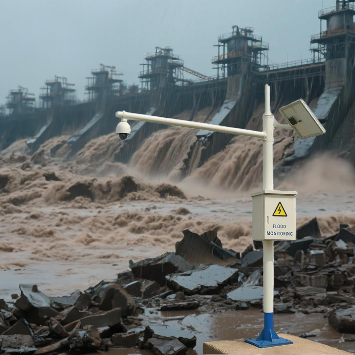
Technology Empowering Prevention: The “Eyes and Ears” of a Landslide and Flood Early Warning System
Mountain torrents are characterized by their sudden onset, short duration, and devastating power. An early warning of just a few minutes or hours is the key to saving lives. The three devices you listed form a comprehensive, multi-layered monitoring network.
1. Rain Gauges & Hydrological Radar: Forecasting the Deluge
- Rain Gauges (Point Monitoring): These are fundamental and vital instruments that directly measure real-time rainfall at specific locations. The system triggers an automatic alarm when rainfall exceeds pre-set danger thresholds.
- Hydrological Radar (Area Monitoring): This technology monitors rainfall intensity, movement direction, and speed over a large area, acting like a “CT scanner” for the sky. It fills in the gaps between rain gauge stations, predicts rainfall trends across entire river basins, and enables earlier prediction of flood risks.
Connection to Recent Events: In the recent disasters in Nepal and Thailand, if an early warning system could have more precisely analyzed which specific valleys and villages would be hit by the “continuous heavy rainfall,” it would have bought precious time for the evacuation of downstream residents.
2. Displacement Sensors & Soil Moisture Probes: Detecting “Movement” and Warning of Secondary Disasters
Mountain floods are often accompanied by landslides and debris flows, which are frequently the “invisible killers” that cause greater casualties.
- Displacement Sensors: Installed at key points on potential landslide slopes, these sensors can detect tiny movements in rock and soil. The moment abnormal sliding is detected, an immediate landslide warning is issued.
- Soil Moisture Probes: These monitor the saturation level of the soil. Persistent rainfall saturates the soil, drastically reducing its friction and stability. This data is a core indicator for assessing slope stability.
Connection to Recent Events: In the catastrophic floods and mudslides in India’s Darjeeling region, displacement sensors could have provided early detection of slope instability, issuing an alarm before the disaster struck to prevent or reduce casualties.
3. Hydrological Models & Warning Platforms: The “Intelligent Brain” for Decision-Making
All the data collected by the sensors above is fed in real-time to a central warning platform. This platform, equipped with hydrological models and AI algorithms, can:
- Run Real-time Simulations: Quickly simulate the formation, concentration, and progression of floodwaters based on live rainfall data.
- Issue Precise Warnings: Generate flood inundation maps and calculate the estimated time of arrival for floodwaters to reach downstream villages and towns.
- Enable Targeted Alerts: Disseminate tiered warnings (e.g., Blue, Yellow, Orange, Red) to residents in specific risk areas via mobile apps, SMS, loudspeakers, and TV, enabling “precision” evacuations and preventing panic.
Case in Point: The Practice of China’s “Three Defenses Line”
China’s national program for landslide and flood disaster prevention is a highly successful global example. Recent news frequently mentions the establishment of a prevention system centered on ”Monitoring and Warning, Mass Prevention, and Emergency Transfer.”
- Context: China has constructed a dense network of automated rainfall and water level stations in key areas, widely using radar and satellite remote sensing to form the First Defense Line (Monitoring and Warning).
- Practical Application: When the system predicts that a mountain creek will flood within two hours, warning messages are sent directly to the village leader and every villager’s phone. Simultaneously, village warning sirens sound, and responsible personnel immediately organize the evacuation of people in the danger zone to pre-determined safe areas along rehearsed routes. This activates the Second (Mass Prevention) and Third Defense Lines (Emergency Transfer).
Conclusion
In summary, the instruments you asked about—hydrological radar, rain gauges, and displacement sensors—are not isolated technological displays. They are critical components in building a lifeline. Their importance is reflected in:
- Buying Time: Transforming disasters from “sudden” to “predictable,” buying the golden window for evacuation.
- Pinpointing Targets: Accurately identifying risk areas for efficient避险 (avoiding danger).
- Reducing Casualties: This is the ultimate goal of all technological investment and the most crucial lesson we should learn from every disaster, like those recently in Thailand and Nepal.
Technology cannot completely prevent natural disasters. However, a mature and efficient landslide and flood early warning system can dramatically change our situation when facing them, shifting the paradigm from “fatalism” to “scientific response.”
Complete set of servers and software wireless module, supports RS485 GPRS /4g/WIFI/LORA/LORAWAN
For more sensors information,
please contact Honde Technology Co., LTD.
Email: info@hondetech.com
Company website: www.hondetechco.com
Tel: +86-15210548582
Post time: Oct-10-2025