AUTOMATIC CLOUD COVER MONITORING INSTRUMENT SENSOR AUTOMATIC CLOUD MONITORING INSTRUMENT WITH ALL-WEATHER CAPABILITY
Product video
Product Features
1.Self-developed pixel-level imaging algorithm, more accurate and reliable data
2.Multi-type cloud layer analysis, real-time generation of cloud analysis reports
3.Self-heating function, applicable to a variety of application scenarios
4.Built-in bird recognition function: emits audio to drive away, reducing daily maintenance workload
5.Professional anti-ultraviolet coating technology, extending the service life of the lens
Product Applications
Solar Energy Field
Satellite Technology
Meteorological Observation
Research And Development
Environmental Monitoring
Agricultural Ecology
Maritime Domain
Communication Network
Transportation industry
Product Parameters
|
Measurement parameters |
||||
| Parameters name | All Sky Imager | |||
| Parameters | 4G Cloud Basic Edition | Local Basic Edition | 4G Cloud Enhanced Edition | Local Enhanced Edition |
| Algorithm version | JX1.3 | JX1.3 | SD1.1 | SD1.1 |
| Image sensor resolution | 4K 1200W
4000*3000 pixels |
4K 1200W
4000*3000 pixels |
4K 1200W
4000*3000 pixels |
4K 1200W
4000*3000 pixels |
| Focal length | 1.29 mm @F2.2 | 1.29 mm @F2.2 | 1.29 mm @F2.2 | 1.29 mm @F2.2 |
| Field of view | Horizontal field of view: 180°
Vertical field of view: 180° Diagonal field of view: 180° |
Horizontal field of view: 180°
Vertical field of view: 180° |
Horizontal field of view: 180°
Vertical field of view: 180° |
Horizontal field of view: 180°
Vertical field of view: 180° |
| Optical glare suppression system | Supported | Supported | Supported | Supported |
| Need to block the sun | Not required | Not required | Not required | Not required |
| Fog-proof | Supported | Supported | Supported | Supported |
| Image enhancement | Support | Support | Support | Support |
| Backlight compensation | Support | Support | Support | Support |
| 3D digital noise reduction | Support | Support | Support | Support |
| Image resolution | 4000*3000pixels, JPG | 4000*3000pixels,JPG | 4000*3000pixels,JPG | 4000*3000pixels, JPG |
| Sampling frequency | 30s~86400s | 30s~86400s | 30s~86400s | 30s~86400s |
| Storage data | 100G
(Storage not less than 120 days) Can be expanded on demand |
256G
(Storage not less than 180 days) |
100G
(Storage not less than 120 days) Can be expanded on demand |
256G
(Storage not less than 180 days) |
| Low power sleep wakeup | Supported | Not supported | Supported | Not supported |
| Window and equipment heating | Supported | Supported | Supported | Supported |
| Audio bird repellent | Support | Support | Support | Support |
| Web data platform | Support | Support | Support | Support |
| APP | Not supported | Not supported | Supported | Not supported |
| Network requirements | 4G | No Internet connection required | 4G | No Internet connection required |
| Remote algorithm upgrade | Supported | Not supported | Supported | Not supported |
| Data Output | Current working status Real-time cloud cover Cloud cover level
Sun altitude angle Sun azimuth Sunrise and sunset time Image brightness Sun occlusion status 360° full sky image 360° cloud cover analysis chart Rectangular panorama Rectangular cloud cover Cloud cover curve chart Cloud cover type pie chart Historical data query Historical data export |
Current working status
Real-time cloud cover Cloud cover level Sun altitude angle Sun azimuth Sunrise and sunset time Image 360° full sky image 360° cloud cover analysis chart Rectangular panorama Rectangular cloud Cloud cover curve chart Cloud cover type pie chart Historical data query Historical data export |
Current working status
Real-time cloud cover Cloud cover level Thin cloud ratio Heavy cloud ratio Cloud type Cloud movement Cloud movement speed Sun altitude angle Sun azimuth Sunrise and sunset time Image brightness Sun occlusion status 360° 360° cloud cover analysis chart Rectangular panorama Rectangular cloud cover analysis chart Cloud trajectory chart Cloud cover type pie chart Historical data query Historical data export AI cloud cover analysis report |
Current working status Real-time cloud cover Cloud cover level
Thin cloud ratio Heavy cloud ratio Cloud type Cloud movement Cloud movement speed Sun altitude angle Sun azimuth Sunrise and sunset time Image brightness Sun occlusion status 360° full sky image 360° cloud cover analysis chart Rectangular panorama Rectangular cloud cover analysis chart Cloud trajectory chart Cloud cover type pie chart Historical data Query historical data export |
| Output method | APIJson format
(RS485 optional) |
RS485 modbus format | APIJson format | API/RS485 |
| Algorithm host configuration | Cloud server
CPU: Intel 44 cores 88 threads Memory: DDR4 256G Video memory: 96G RTX4090 24G*4 Hard disk: 100G/site |
Local edge computing host
CPU: Intel 4 cores Memory: 4G Hard disk: 256G |
Cloud server
CPU: Intel 44 cores 88 threads Video memory: 96G RTX4090 24G*4 |
Local edge computing host
CPU: Intel 4 cores Memory: 4G Hard disk: 256G |
| Working temperature | -40~80C | -40~80C | -40~80C | -40~80C |
| Protection level | IP67 | IP67 | IP67 | IP67 |
| Power supply | DC12V Wide E (9-36V) | DC12V Wide E (9-36V) | DC12V Wide E (9-36V) | DC12V Wide E (9-36V) |
| Current consumption | Maximum power consumption 6.4W Average power consumption in normal operation 4.6W
Sleep interval 10min Average power consumption Sleep interval 1hour Average power consumption 0.4W |
Maximum power consumption 20W
Average power consumption in normal operation 15W |
Maximum power consumption 6.4W Average power consumption in normal operation 4.6W
Sleep interval 10min Average power consumption |
Maximum power consumption 20W Average power consumption in normal operation 15W |
|
Wireless transmission |
||||
| Wireless transmission | LORA / LORAWAN, GPRS, 4G,WIFI | |||
|
Mounting Accessories |
||||
| Stand pole | 1.5 meters, 2 meters ,3 meters higth, the other higth can be customize | |||
| Equiment case | Stainless steel waterproof | |||
| Ground cage | Can supply the matched ground cage to burried in the ground | |||
| Lightning rod | Optional(Used in thunderstorm places) | |||
| LED display screen | Optional | |||
| 7 inch touch screen | Optional | |||
| Surveillance cameras | Optional | |||
|
Solar power system |
||||
| Solar panels | Power can be customized | |||
| Solar Controller | Can provide matched controller | |||
| Mounting brackets | Can provide the matched bracket | |||
|
Free cloud server and software |
||||
| Cloud server | If buy our wireless modules, send free | |||
| Free software | See real time data and download the history data in excel | |||
FAQ
Q: How can I get the quotation?
A: You can send the inquiry on Alibaba or the below contact information, you will get the reply at once.
Q: What's the main characteristics of this compact weather station?
A: Widely used in many industries for cloud data analysis needs
Capture clear clouds without fear of direct sunlight.
4K ultra-high-definition lens for clearer views.
24-hour automatic iteration to identify obstacles, easy to move and install.
Data information is more clearly communicated.
Equipped with multiple functional systems to meet different needs.
Q:Can we choose other desired sensors?
A: Yes, we can supply the ODM and OEM service, the other required sensors can be intergrated in our present weather station.
Q:Could I get samples?
A:Yes,we have materials in stock to help you to get the samples as soon as we can.
Q:Do you supply tripod and solar panels?
A: Yes, we can supply the stand pole and the tripod and the other install accessaries, also the solar panels, it is optional.
Q: What’s the common power supply and signal output?
A: Common power supply and signal output is DC12V Wide E (9-36V), RS485. The other demand can be custom made.
Q: How can I collect data?
A: You can use your own data logger or wireless transmission module if you have , we supply the RS485-Mudbus communication protocol.We can also supply the matched LORA/LORANWAN/GPRS/4G wireless trnasmission module.
Q: Can we have the screen and the data logger?
A: Yes, we can match the screen type and data logger which you can see the data in the screen or download the data from the U disk to your PC end in excel or test file.
Q: Can you supply the software to see the real time data and download the history data?
A: We can supply the wireless transmission module including the 4G,WIFI,GPRS , if you use our wireless modules, we can supply the free server and free software which you can see the realtime data and download the history data in the software directly.
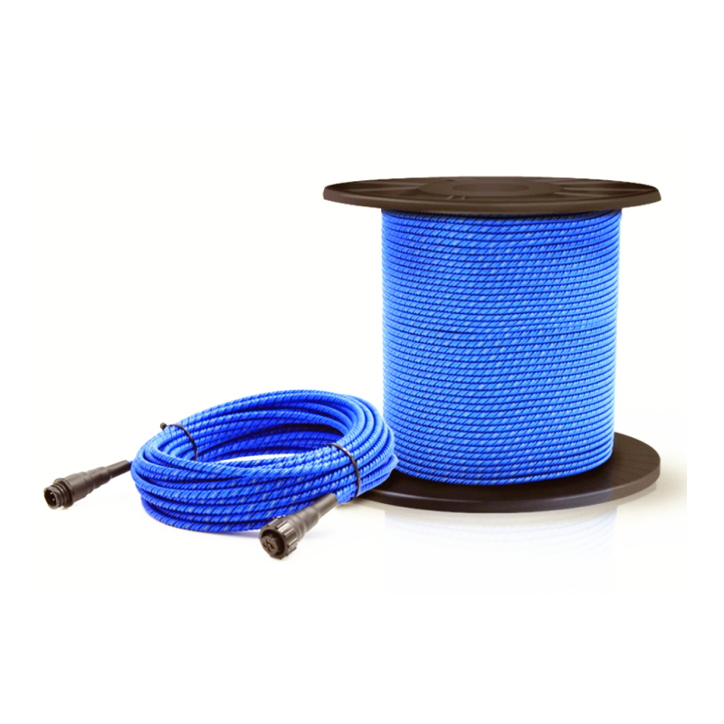
Q: What’s the standard cable length?
A: Its standard length is 3m. But it can be customized, MAX can be 1KM.
Q: What's the lifetime of this Mini Ultrasonic Wind Speed Wind Direction Sensor?
A: At least 5 years long.
Q: May I know your warranty?
A: Yes, usually it’s 1 year.
Q:What’s the delivery time?
A: Usually, the goods will be deliveried in 3-5 working days after receiving your payment. But it depends on your quantity.
Q: What industry can be applied to in addition to construction sites?
A: Meteorological observation, environmental monitoring, climate research, weather forecasting, solar energy assessment and monitoring, optical power prediction, power station design, agricultural and forestry ecological building design and satellite verification, etc.